


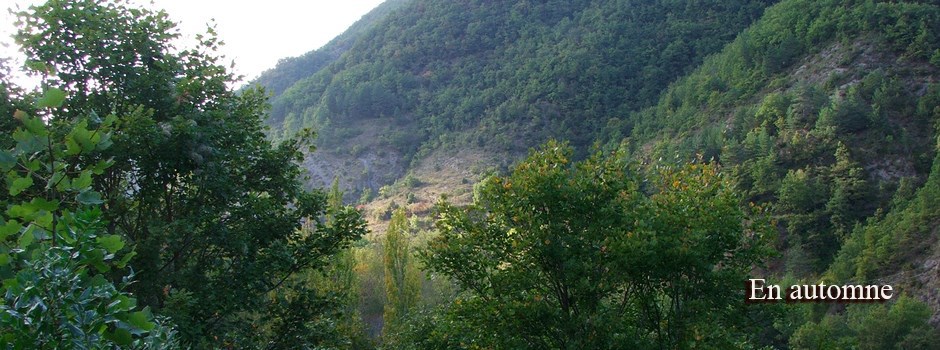
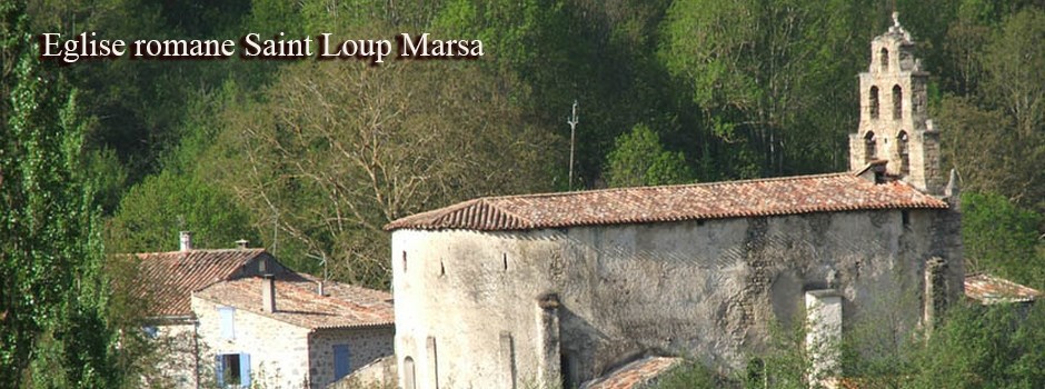


Forests
Between 1926 and 1930, 7200 hectares of state and private forests in the Pays de Sault were classified as "protection forests", within the meaning of Articles L 411-1 to L 413-1 of the Forest Code.
Originally, this classification was a means for the Administration to fight against overexploitation of forests. The consideration of these imperatives in the management of these forests is controlled by the Departmental Direction of Agriculture and Forestry. (DDAF). Several sectors of the Pays de Sault (Gesse castle in Bessède-de-Sault, parade of the Pierre Lys and gorges of Saint-Martin on the municipalities of Belvianes-et-Cavirac, Quirbajou and Saint-Martin-Lys, cave of the Aguzou Escouloubres and Lafrau gorges in the town of Comus) are classified under the law of 1930 on classified sites. The Madres massif (3945 hectares in the Aude), the Rebenty basin (8417 hectares), the upper Aude valley and the Aiguette basin (9708 hectares) have been proposed for inclusion in the European network. preservation of "Natura 2000" habitats.
Royal Forest Fanges (sludge)
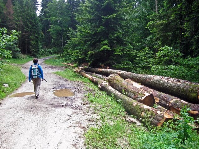
Callong Forest and Picaussel

Of a remarkable floral richness, one finds there spruce trees which live alongside green oaks and kermes oaks, Scots pines and birches. The forest is inhabited by deer, deer and wild boar, which we meet during mushroom picking "ceps, morels and rousillous" that are the delight of fans.
The Maquis of Picaussel
In March 1943, the German army put in place a huge device which includes the department of Aude
The first core of local resistance is born this spring following a parachute error. The Maquis is organized on the ground in the heart of the Picassel forest and quickly passed from four men in April 1944 to 380 men in the summer of 1944, grouped in units spread over 4 km².
On June 6, the guerrillas attacked the Germans at the Babourade pass, between Ariège and Aude, to take control of the road on which the German troops never passed until their departure.
From August 6th to 9th, 1944, the Maquis is surrounded by the Germans who burn the village of Lescale but the men of Picaussel, knowing perfectly the ground, already joined the maquis of Quérigut to continue the fight against the occupant.
Forest of Malo - Estable Bac
Elle se situe , à l'est du village d'Axat et à l'ouest de celui de Puilaurens. Elle occupe une surface totale d'environ 2450 hectares pour une altitude comprise entre 390 et 1495 mètres, altitude atteinte au Pic d'Estable.
Le sous-sol est constitué de calcaires plus ou moins marneux recouverts de schistes. De nombreux escarpements rocheux, des éboulis, des versants boisés, accompagnés d'espaces plus ouverts au sud et à l'est, donnent au milieu une physionomie variée. La végétation appartient aux étages subméditerranéen et montagnard.
Cette forêt est domaniale, gérée par l'Office National des Forêts. Elle est classée en forêt de protection. L'activité sylvicole est importante, avec de nombreuses plantations et pistes forestières.
Des sentiers de randonnée, dont le Sentier Cathare et sa variante sud, sillonnent la zone. Depuis la forêt d'En malo, on peut admirer la vue imprenable sur lze château de Puilaurans, en contrebas dans la vallée de la Boulzane.
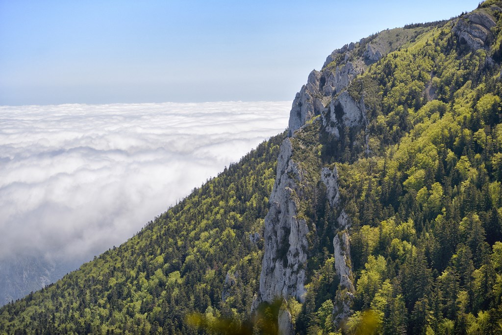
Madres Forest
Highest peak of the department of Aude, the peak of Madres and the massive surrounding it offer in all seasons a great show for lovers of hiking, photography or simple contemplation.
Its Natura 2000 classified site, consisting of high pastures and thorny forests, is rich in a variety of fauna and flora. From the river winding between the declensions of the Clottes to the austere screes of Roc Negro, to consume without moderation but in all discretion.
Several hikes are possible. A trail climbs from the Sansa Pass to the summit via the Pontells Cove. A loop is possible by the peak of the Pelada.
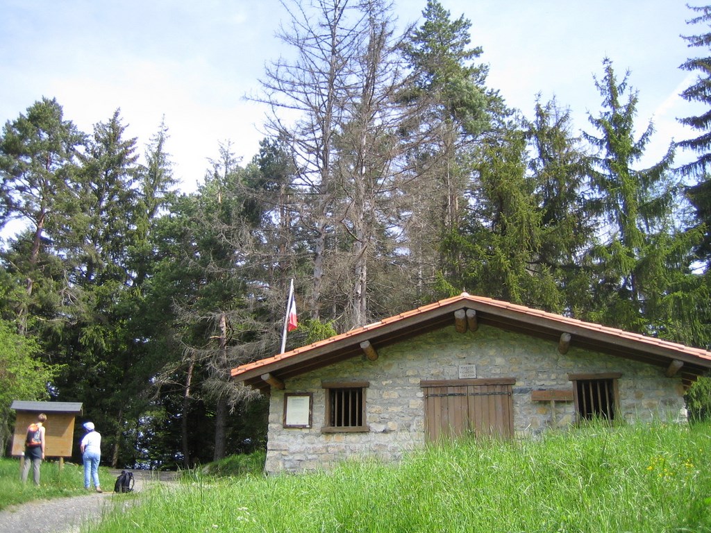
From the pastoral refuge of Escouloubre (the bousquet), a forest road leads to the pastoral refuge of Madrès. It is then a well cairn path which leads to the summit.
From the refuge of La Molina, a forest road leads to the refuge of Nohèdes. The path goes up to the Negro rock and then to the Madrès.
Col de Jau or the refuge of Calhau, several trails evolve in parallel to reach the summit, one via the peak of Bernard Sauvage.
Mountain biking is possible in this gentle terrain and not often in boulders.